Gallery
Arctic SDI Geoportal
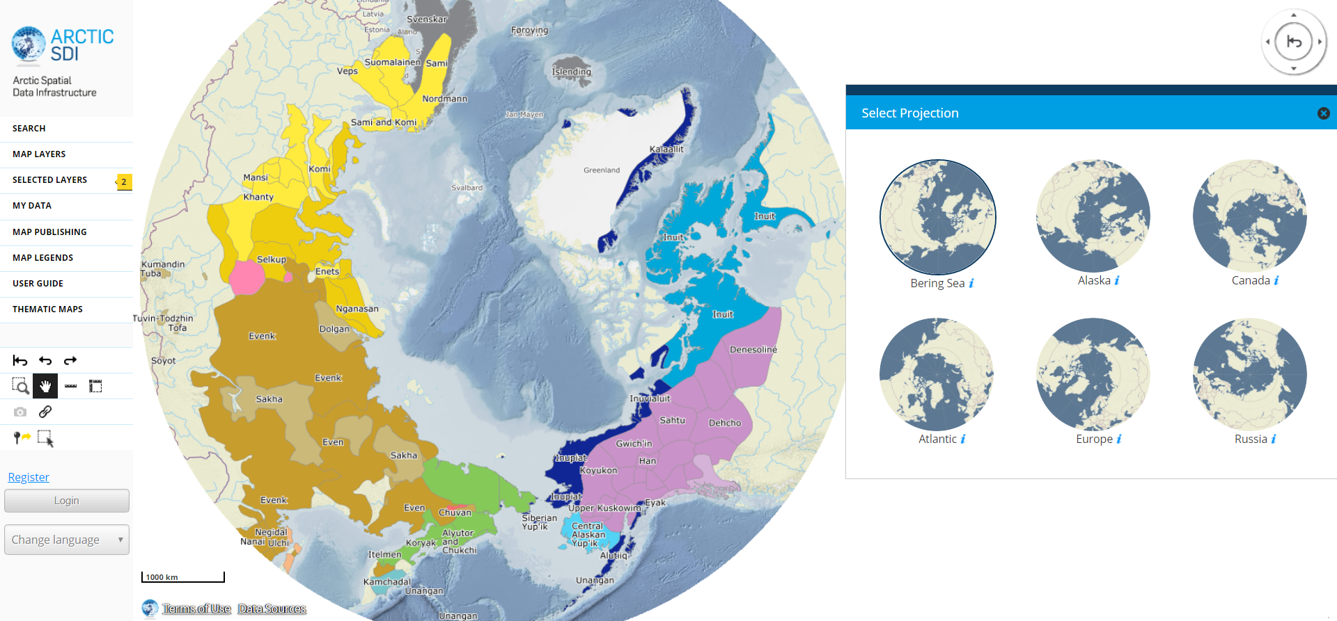
The Arctic SDI Geoportal joint effort aims at creating a spatial data infrastructure for the Arctic region.
Calculate the potential potato crop with Biomass Atlas
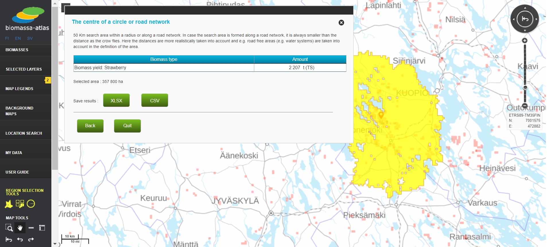
Biomass Atlas is a cool Oskari setup for fetching information from natural resources in Finland
Fishing restrictions
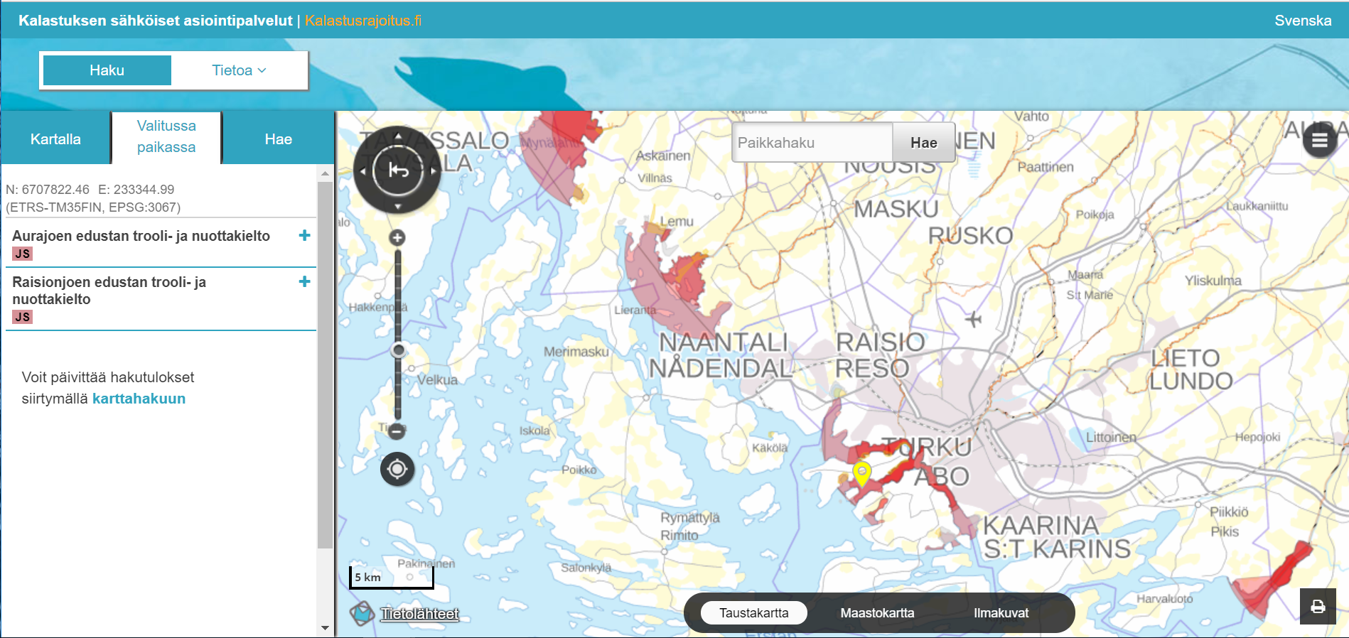
Service gathering all the official fishing restriction areas together
Helsinki Environmental Service open data map portal
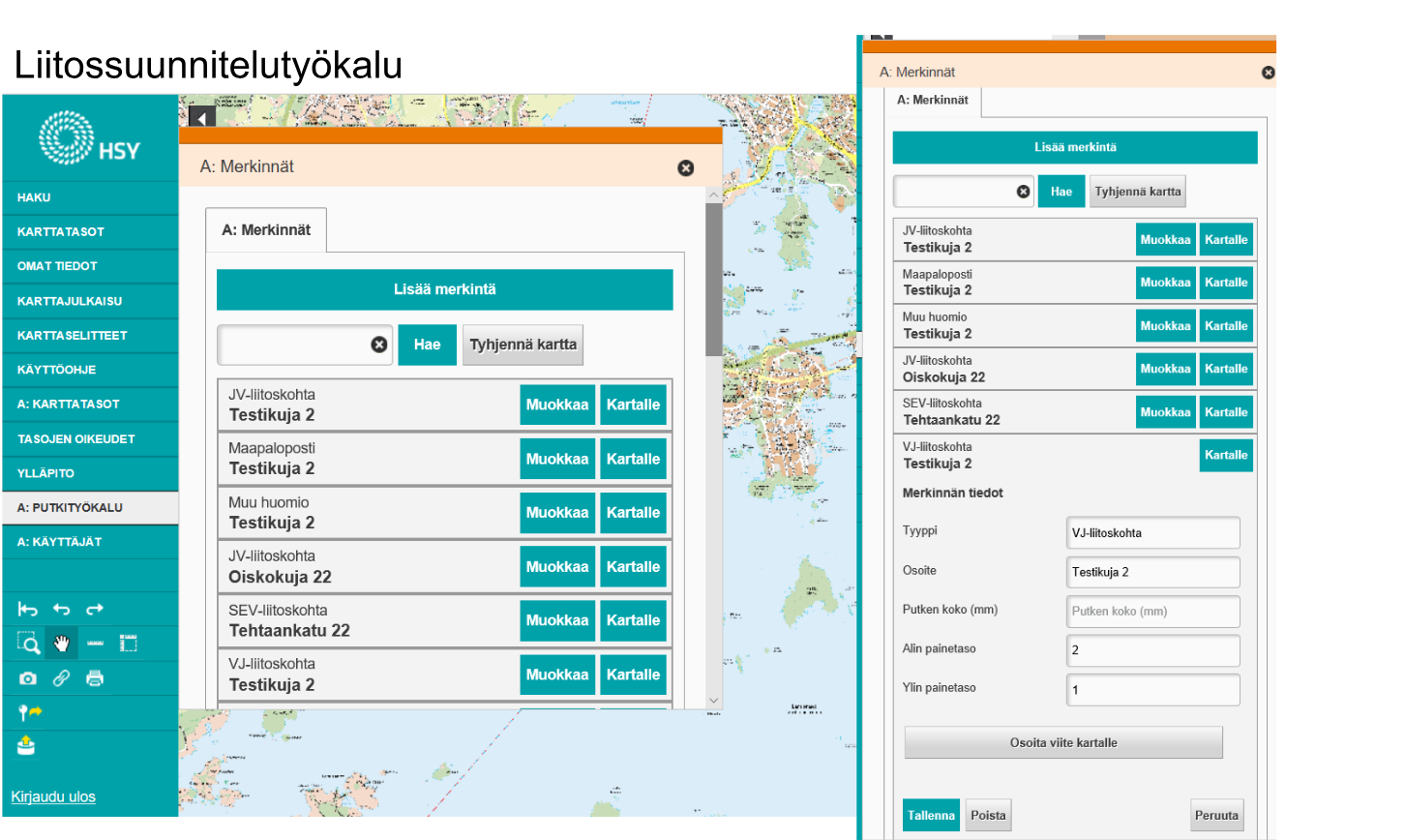
Three different Oskari instances. One open for public use, one for extranet use and one for intranet use for internal actions.
Icelandic National Geoportal
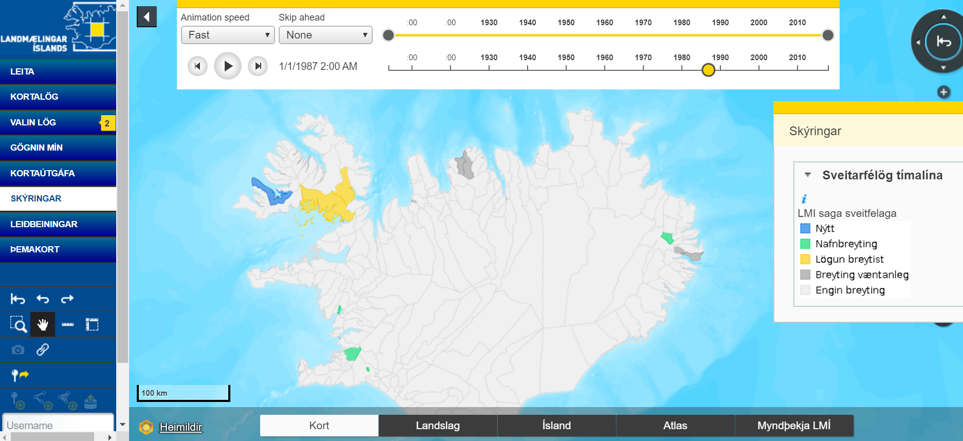
National portal for geospatial information in Iceland.
City of Joensuu
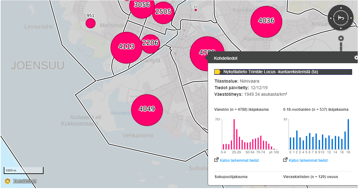
Managing with information provides valuable insights about our living environment and Oskari in Joensuu is providing this.
Find Social Insurance services
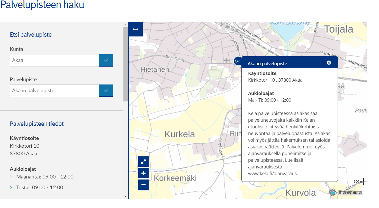
The Social Insurance Institution of Finland and Oskari API in use
Liiteri service
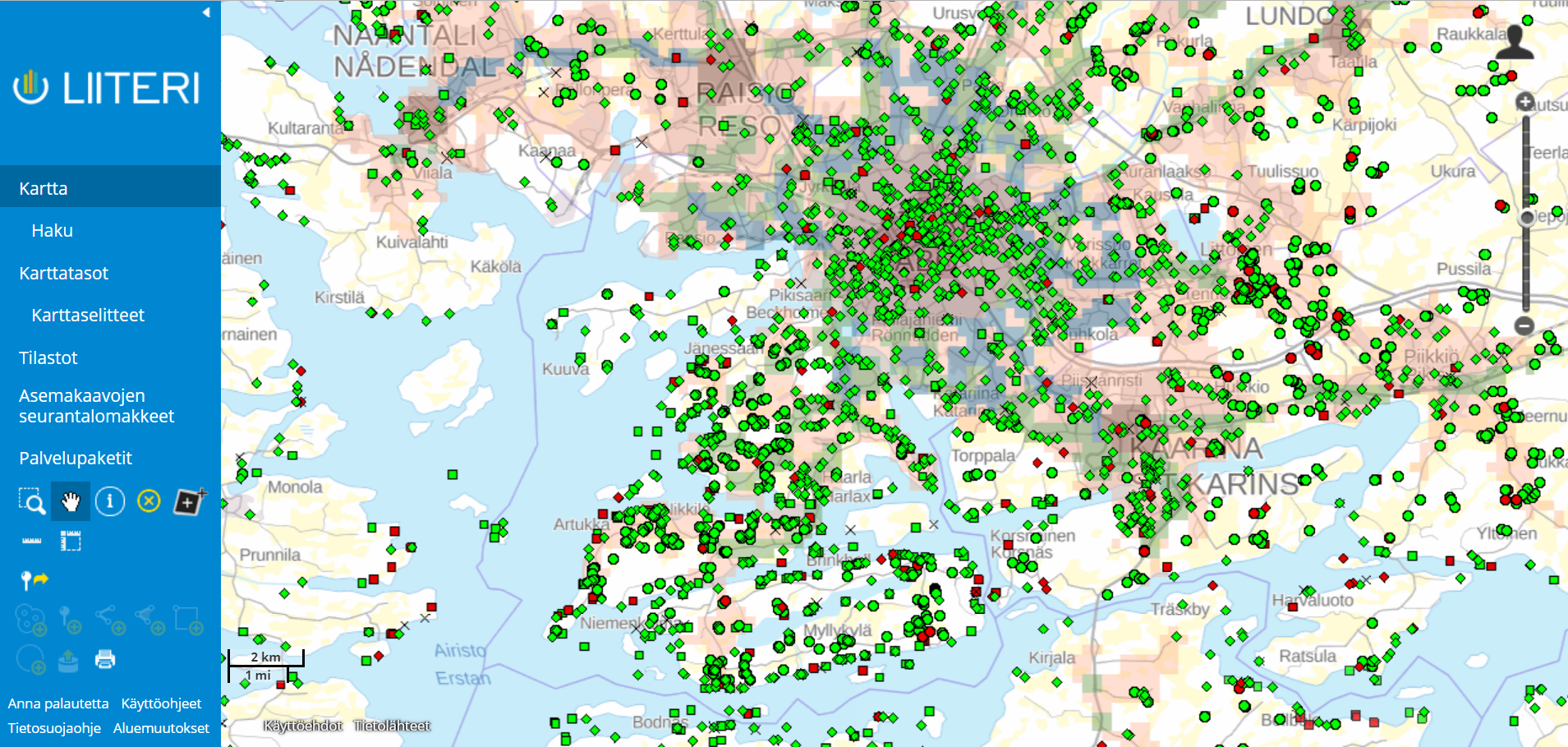
Data from our everyday environment provided by Finnish Environment Institute
Southwest Finland Regional Inforshare / Lounaistieto
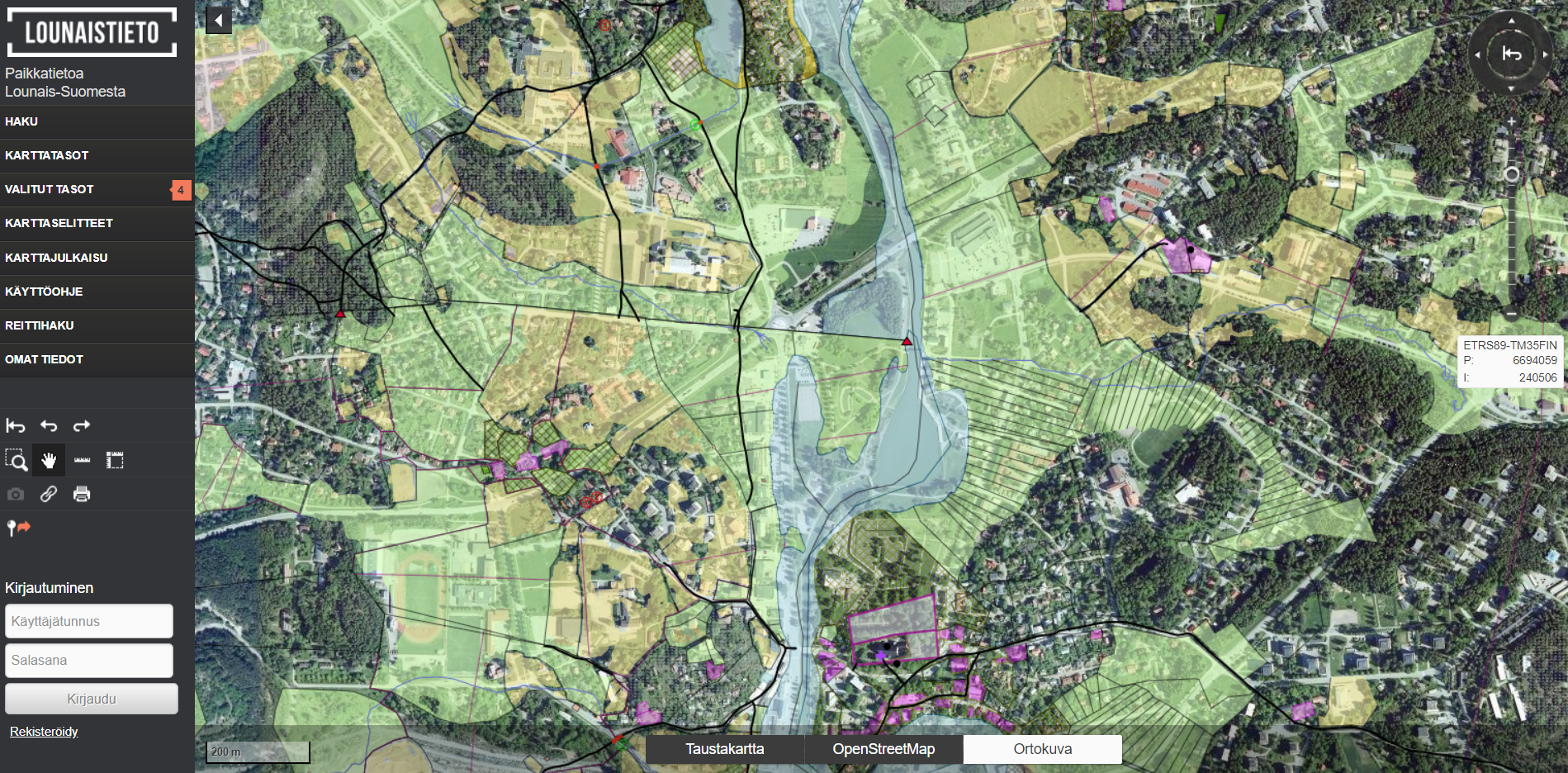
The map service hosts a variety of GI data from the region. The map service is a good example of basic Oskari service without any tailoring.
NLS-FI Mapsite
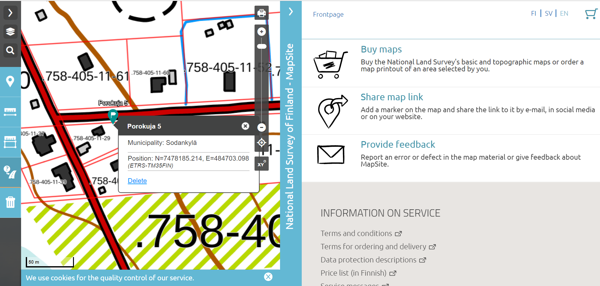
With Mapsite you can do basic web-map functionalities, browse map layers, measure distances and search places by name or address. It is mainly used by citizens and land owners to check their plots and real estates
GIS education portal PaikkaOppi

The new PaikkaOppi uses now an embedded map published from the Finnish national geoportal.
Paikkatietoikkuna
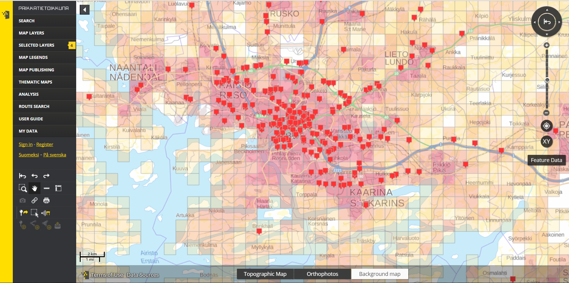
National portal for geospatial information in Finland.
Peltodata provides valuable information for farmers
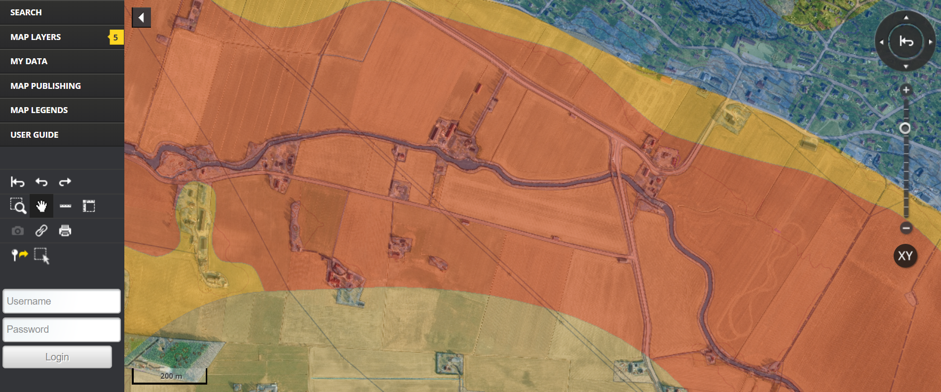
The aim of the project is to provide high quality information for farmers through Oskari in order to gain better understanding on how the soil, nutrients and water balance affect the crop yields.
Helsinki Region Climate Atlas
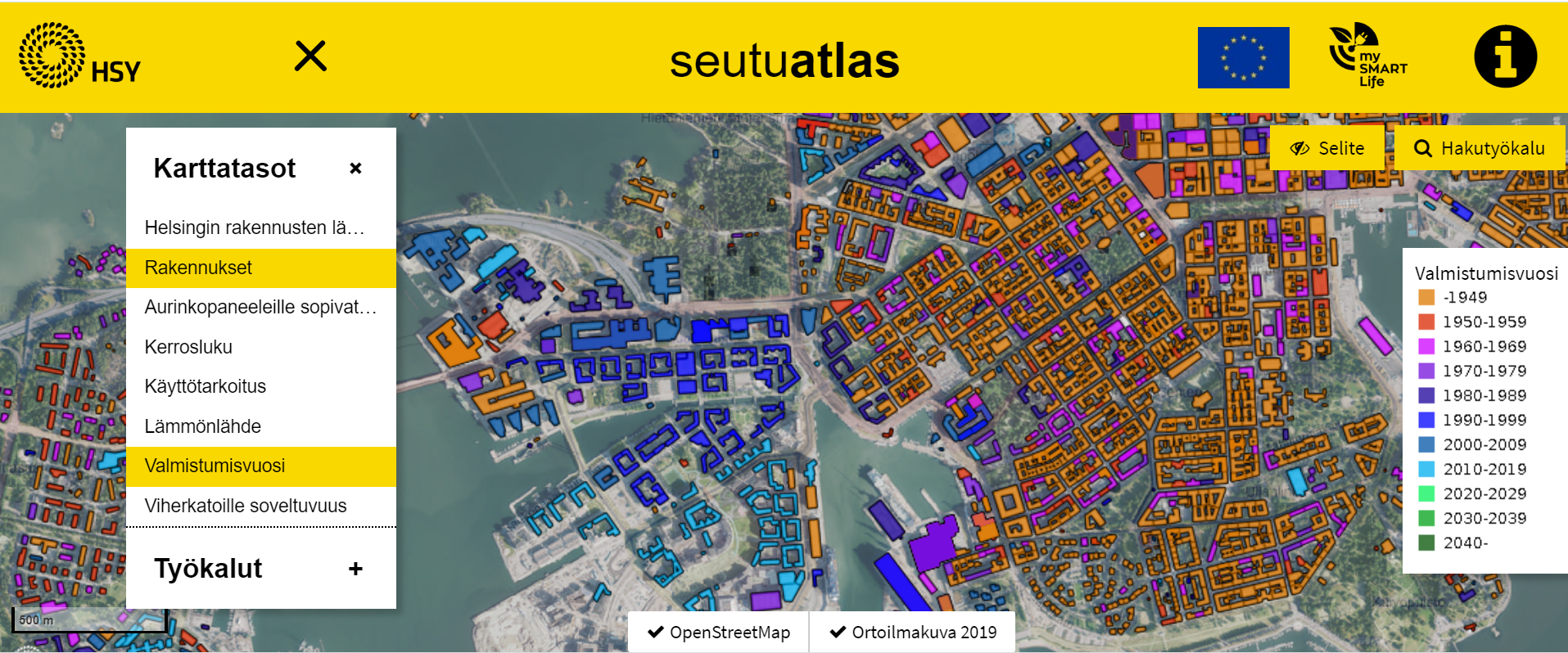
A service that presents building-level energy efficiency datasets in Helsinki region.
Sitowise hosts and develops Oskari
Oskari is easy to take into use and it is very user friendly. We have over 10 projects where we develop Oskari in one way or another
Statistics Finland open geospatial datasests
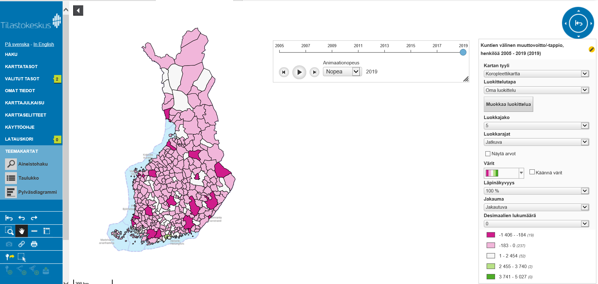
The service includes population data by municipality-based statistical areas and statistical grids
Suomi.fi-maps
Suomi.fi-maps is part of the Finnish e-services for public sector organisations. Through Suomi.fi-maps the public sector can provide published maps to their own web-sites utilizing national geospatial datasets.
City of Tampere and their very own Oskari
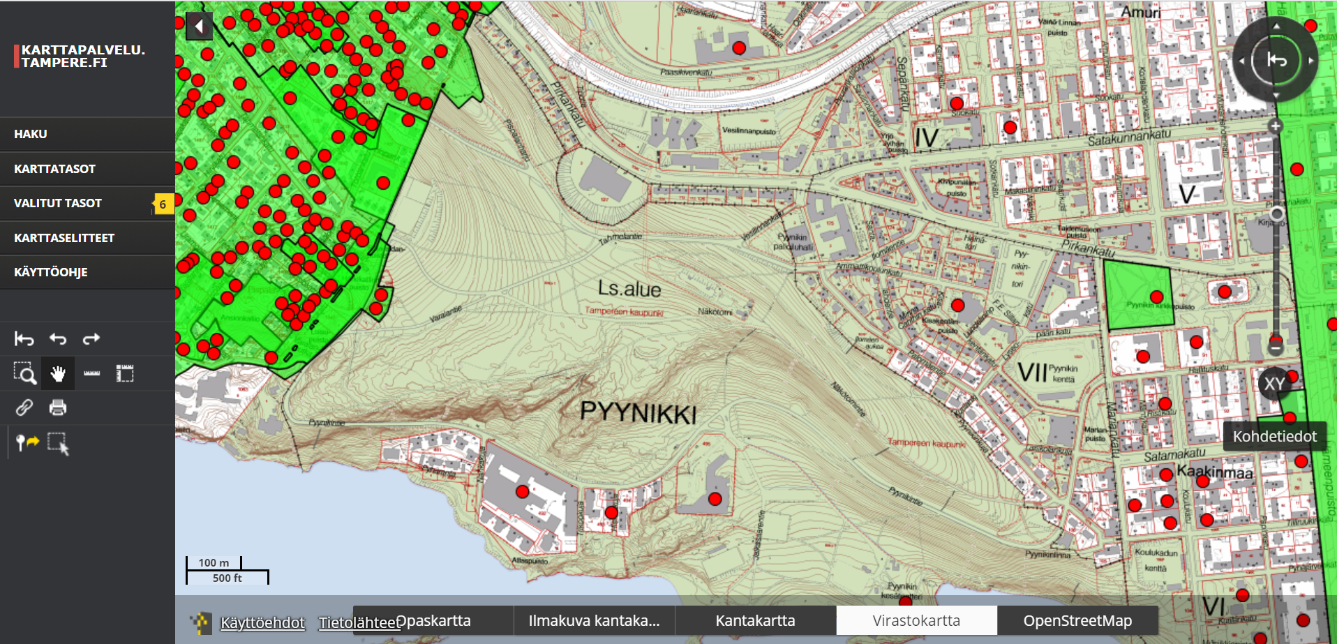
City of Tampere mapservice is the public view to the information the city provides to its citizens but Oskari is also in internal use with the city officials.
Seafare data for viewing and downloading
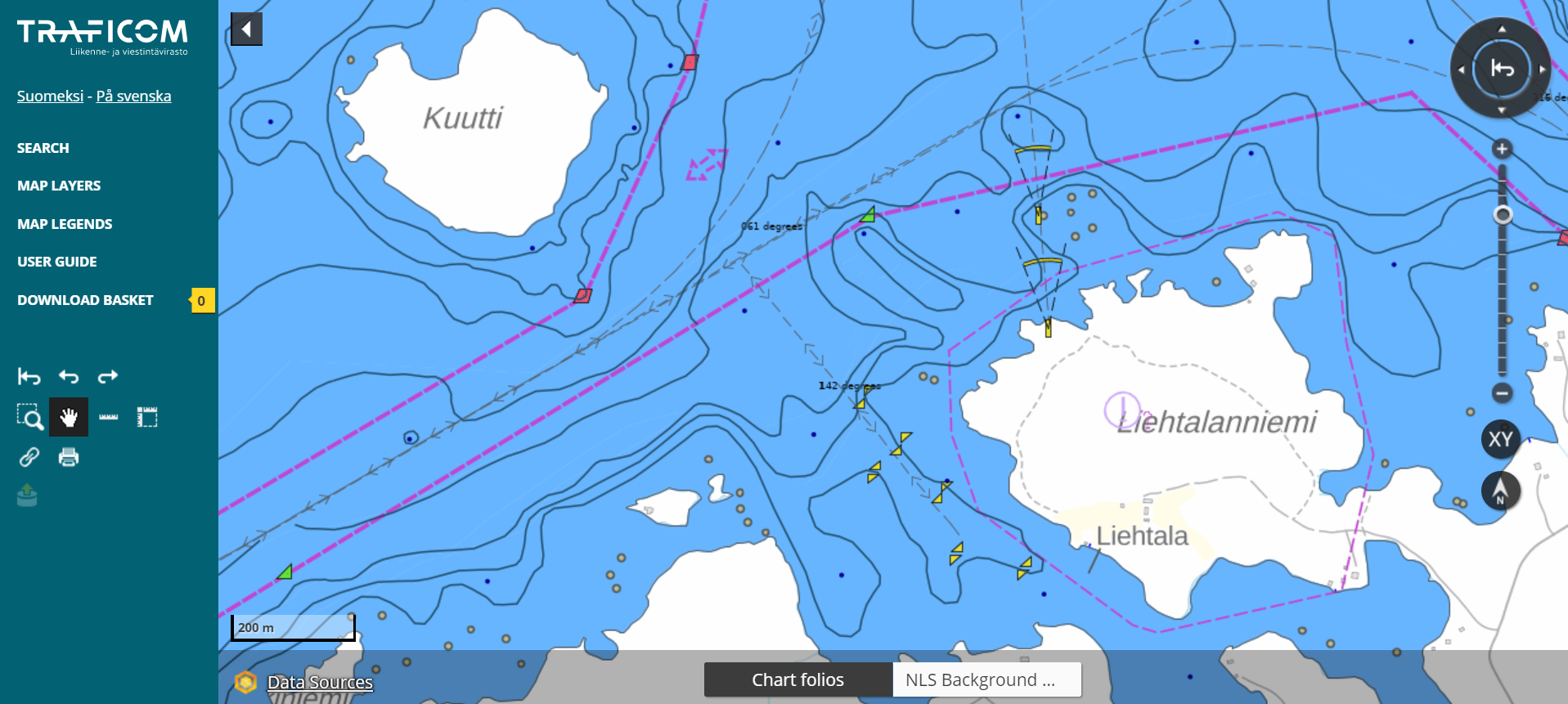
Traficom (Finnish Transport and Communication Agency) offers seafare datasets for downloading
Valkeakoski, example of municipality Oskari use
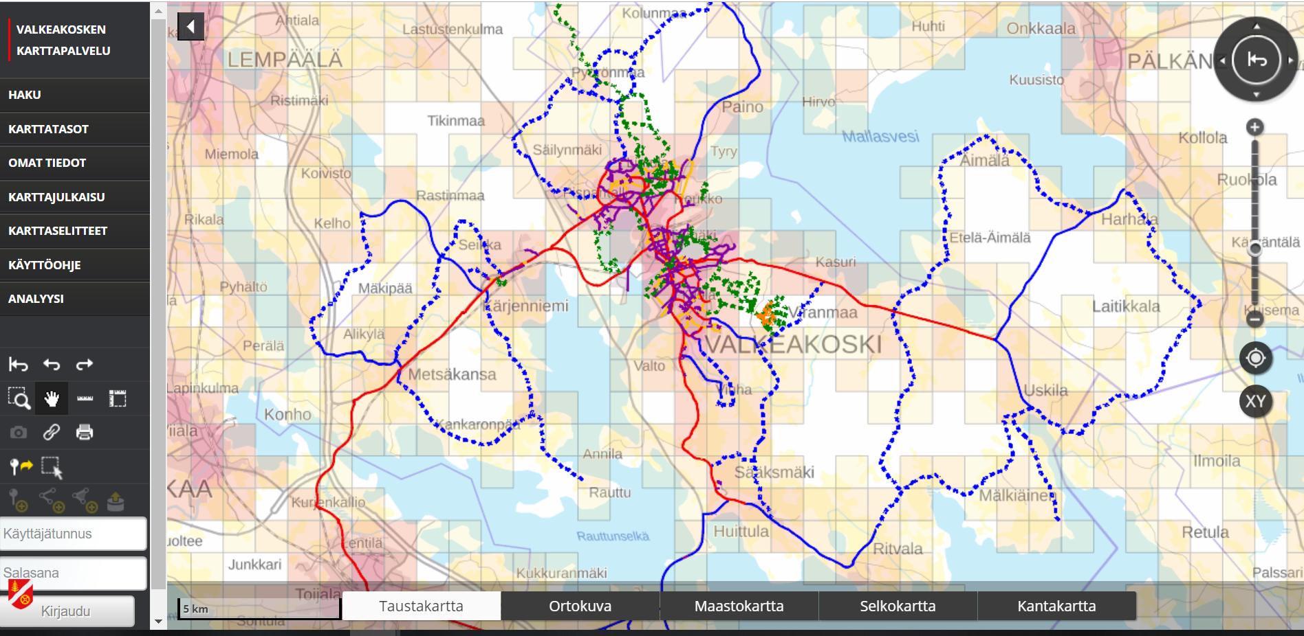
The Oskari setup we have is the *“basic”* Oskari installation with hierarchical layer tool in use.
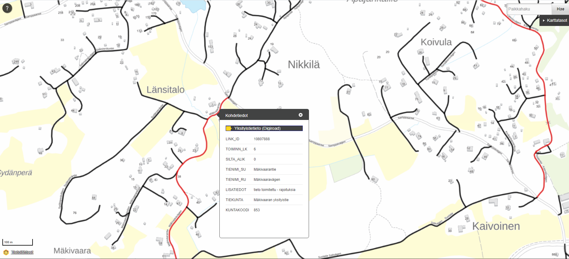
Download and view traffic information in Finland
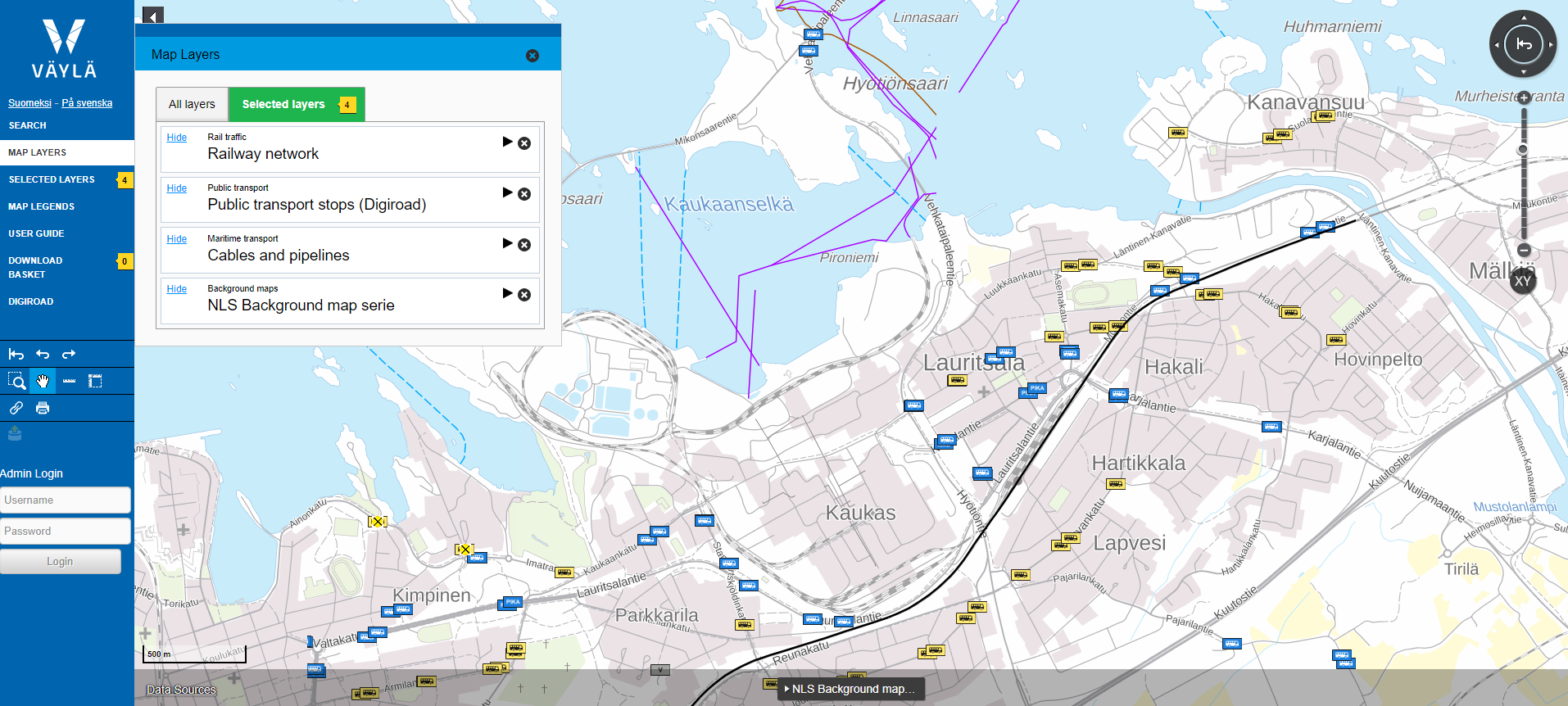
Väylävirasto uses Oskari as a platform offering their users possibilities to view and download datasets